Collinsville Smelter Site and Soil Program Site
About these cleanup sites
Collinsville Smelter:
Location: Collinsville, Tulsa County, Oklahoma
Township and Range: Section 32, Township 22 North, Range 14 East
Legal Description: A tract of land in the North East Quarter (NE/4) of the North West Quarter (NW/4) of Section 32, Township 22 North, Range 14 East of the Indian Base and Meridian, Tulsa County, State of Oklahoma.
Site Type: Smelter
Area: 5.185 acres
Voluntary Cleanup Program: Consent Orders 96-115 (1996) and 12-146 (2012)
Current Status: Cleanup complete
Collinsville Soil Program:
Location: Collinsville, Tulsa County, Oklahoma
Latitude/Longitude: 36° 20’ 52” N, 95° 50’ 27”
Site Type: High access and residential yard cleanups
Area: Physical bounds of the program are: E. 176th St. N. to N. Harvard Ave. to E. 116th St. N. to N. 161st St. E.
Voluntary Cleanup Program: Consent Decree 09-CV-326
Current Status: Work ongoing
Click to View Interactive Site Map
Cleanup Oversight Agencies: DEQ
Responsible Party: Cyprus Amex Minerals Company (“Cyprus”)
Office: DEQ, Land Protection Division, (405) 702-5100
DEQ Site Project Manager: Steven Gunnels, (405) 702-5173
DEQ Press Contact: Erin Hatfield, (405) 702-7119
Site History and Background:
The Bartlesville Zinc Company owned and operated a horizontal retort zinc smelter at the Site between 1911 and 1918. Bartlesville Zinc Company was dissolved in 1930 and its successor parent company, Cyprus, agreed with DEQ’s request to investigate and remediate smelter impacts on the properties making up the former smelter.
Cleanup History:
In 2006, Cyprus completed a cleanup action at the Shadow Lake Trailer Park property that included consolidating and covering smelter residue with 18 inches of soil. Institutional controls are in place for the Shadow Lake Trailer Park property, and Cyprus conducts post-closure O&M activities for the property.
The Collinsville Smelter Site is one of two former Smelter sites that were located south of town. EPA and DEQ tested residential yards near the former smelters and found elevated concentrations of heavy metals. It was unclear whether the concentrations arose from historic air emission deposition of use of smelter materials as fill. In 2009, Cyprus implemented the Collinsville Soil Program (CSP), a comprehensive soil sampling and cleanup program in and around the City of Collinsville.
Cleanup Status:
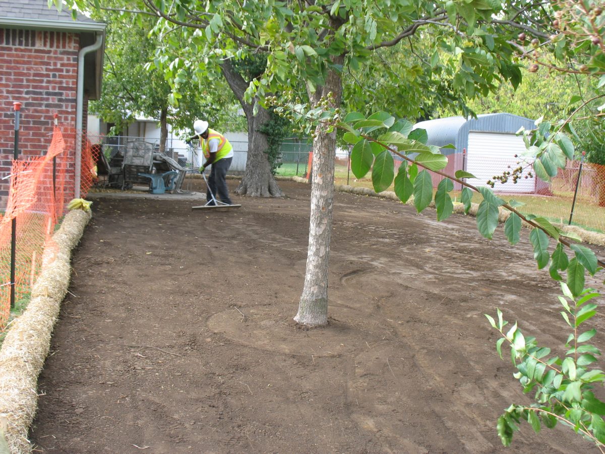
Collinsville Smelter Site: Construction began in January 2018 with mobilization and site preparation. The construction (except for some reseeding and erosion repair) was completed in 2018. Some erosion and repair work and reseeding were performed in the spring of 2019. The remedy included excavation of contaminated soils and their placement in the on-site consolidation area and capping of contaminated soil with clean fill.
Collisville Soil Program: Yard testing and cleanup began in 2009 and will continue as long as smelter material and contaminated soil remain. Almost 4,000 properties have been sampled with nearly 300 receiving cleanup. If you want to have your property sampled, or to check if your property has been sampled in the past, please call (918) 574-5037 and leave your information.
Did you Know?
The Collinsville Smelter is located across the street from the Tulsa Fuel and Manufacturing Superfund site which was also a horizontal retort smelter that operated at about the same time. For more information about the Tulsa Fuel site visit the Tulsa Fuel site summary webpage.
Land Use Restrictions:
Institutional Controls (ICs) were implemented on property owned by Cyprus to limit future property land use to non-residential and to restrict excavation in the vicinity of the repository without DEQ approval. The specific institutional controls implemented for the Phase 2 Remediation are included in Appendix E of the Phase 2 Remediation Completion Report.
Regulatory Profile:
- Sources of Contamination: Historical air emissions and slag (waste from smelted metallic ore) material contaminated soils in the surrounding area with lead, cadmium, and arsenic.
- Contaminants of Concern: Lead, cadmium, and arsenic
- Media Affected: Soil and sediment
- Surface Water Impacted: Blackjack Creek
Read Supporting Documents