Tinker Air Force Base Superfund Site
About this Superfund Site
Location: Oklahoma City,Oklahoma County, Oklahoma
Township and Range: Section 14 and 23, Township 11N, Range 2W
Latitude/Longitude: 35.42342100, -97.37773533
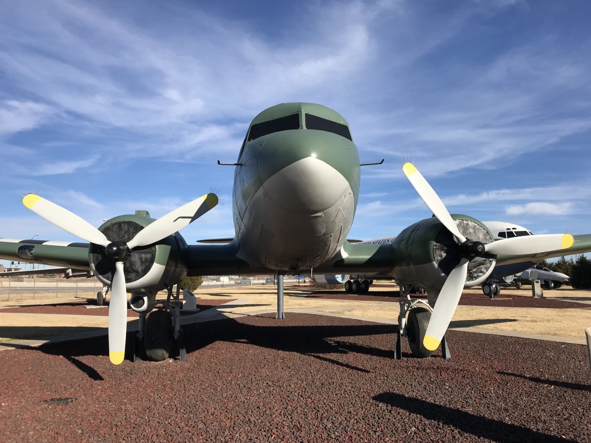
Site Type: Aircraft Maintenance/Refurbishing
Area: 8.25 square miles/5,277 acres
National Priorities List: Final Listing Date – July 22, 1987
Current Status: Cleanup underway
Click to View Interactive Site Map
Cleanup Oversight Agencies: EPA, U.S. Air Force, and DEQ
Lead Agency: DOD (Air Force)
Office: DEQ, Land Protection Division, (405) 702-5100
DEQ Site Project Manager: Steven Gunnels, (405) 702-5173
DEQ Backup Project Manager: Kelsey Bufford, (405) 702-5184
DEQ Press Contact: Erin Hatfield, (405) 702-7119
Site History and Background:
Prior to 1941, this site was located on undeveloped pasture lands which solely housed agricultural and ranching activities. In 1941, 960 acres of land, including the area now occupied by the Industrial Wastewater Treatment Plant (IWTP), were donated to the Army Air Corps by the City of Oklahoma City. This land was donated for the construction of the Midwest Air Depot, later renamed Tinker Field in 1942 and subsequently Tinker Air Force Base (AFB) in 1948. The whole base now covers more than 5,000 acres. The site is located in the northeastern portion of Tinker AFB, which is now the most industrialized area. The most notable sources of ground water contamination stemmed from Building 3001, the North Tank Area (NTA), and Pit Q-51. These sites were involved in rebuilding and refurbishing aircraft, including jet engines and missile repairs. The industrial processes used generated two primary pollutants: chlorinated solvents and hexavalent chromium. Other significant contaminants included acetone, toluene, benzene, xylene, lead, nickel, and barium.
Since Tinker AFB is located in the recharge zone of the Garber-Wellington Aquifer, ground water can be found at depths as shallow as 20 feet, but base water supplies are drawn from depths of 270+ feet. Soldier Creek however, which flows from Tinker AFB into adjacent neighborhoods, is reportedly used for wading and playing by children and is large enough to support edible fish. Other beneficial uses of Soldier Creek include agriculture, process and cooling water, and aesthetics. Soldier Creek also supports a warm-water aquatic community.
Cleanup History:
In order to avoid further dispersion of contaminants throughout the ground water and into Soldier Creek, the following remedies were identified in the August 1990 ROD:
- Removal of:
- Underground Storage Tanks
- Contaminated soil from on-base areas of Soldier Creek and the North Tank Area
- Fuel product, VOCs, and metals from the ground water (industrial reuse of treated water)
- Liquids from Pit Q-51, followed by cleaning and closure of various pits inside Building 3001
- Soil remediation using vapor extraction of VOCs
- Plug and abandonment of two water supply wells
Cleanup Status:
The last Five-Year Review Report, completed in September 2007 by EPA and the Air Force, found that the site remedies are protective of human health and the environment.
Did You Know?
Building 9001 of the Tinker Aerospace Complex covering 2.5 million square feet, recently bumped Building 3001 as the largest building on base.
Land Use Restrictions:
The land use plan for Building 3001 is zoned only for industrial and heavy industrial use.
Regulatory Profile:
- Sources of Contamination: Aircraft repair hangers, underground storage tanks, and solvent pits
- Contaminants of Concern: Organic solvents (trichloroethene (TCE), tetrachloroethene (PCE), dichloroethene (DCE), acetone, petroleum products (toluene, benzene, xylene), and metals (chromium, cadmium, lead, nickel, and barium)
- Media Affected: Surface and subsurface soil, surface water, and ground water
- Surface Water Impacted: Soldier Creek
- Ground Water Impacted: Recharge zone of the Garber-Wellington Aquifer