Tenth Street Dump/Junk Yard Superfund Site
About this Superfund Site
Location: Oklahoma City,Oklahoma County, Oklahoma
Township and Range: Section 31, Township 12N, Range 2W
Latitude/Longitude: 35.47862217, -97.45365167
Site Type: Salvage/Junk Yard
Area: 0.005 square miles/3.5 acres
National Priorities List: Final Listing Date – July 22, 1987; Deletion Date – November 21, 2000
Current Status: Cleanup complete
Click to View Interactive Site Map
Cleanup Oversight Agencies: EPA, DEQ, and USACE
Lead Agency: DEQ
Office: DEQ, Land Protection Division, (405) 702-5100
DEQ Site Project Manager: Steven Gunnels, (405) 702-5173
DEQ Press Contact: Erin Hatfield, (405) 702-7119
Site History and Background:
The Tenth Street Site formally operated as a municipal landfill between 1951 and 1954. No activity at the site was noted between 1954 and 1959; however, in 1959, Mr. Raymond Cobb leased the site from Mr. Sullivan Scott and used the site as a salvage yard, accepting materials such as tires, solvents, and transformers. Fluids from the transformers contained harmful Polychlorinated Biphenyls (PCBs). The fluids were drained from the transformers, then transferred to barrels and sold. During the recovery process, large quantities of oil were spilled onto the ground. Mr. Cobb continued this operation until his death in 1979, when Mr. Rolling Fulbright began operating the site as Deadeye’s Salvage Yard. The Tenth Street Site is currently an area of mixed residential and industrial land use and is surrounded on three sides by active automobile salvage yards.
Cleanup History:
After sampling occurred in the mid-1980s, EPA found very high concentrations of PCBs in the soil. The intial remediation plan consisted of:
- Removal and disposal of the electrical equipment and drums containing hazardous substances and PCBs
- Decontamination and relocation of automobiles and other salvage material
- Consolidation of contaminated soils to the center of the site
- Grading of the site for effective drainage
- Installation of the synthetic cover and clay cap
- Installation of a security fence around the site
Cleanup Status:
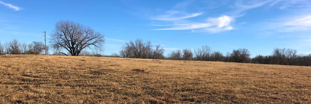
Cleanup is complete and the site is in the operation and maintenance phase. The landfill cap is mowed several times each year, the perimeter fencing is routinely checked, and the site is monitored by DEQ to ensure that the cap remains intact.
Land Use Restrictions:
In 1990, the Environmental Protection Agency indicated industrial land usage for this site. The site is owned by a private land owner and offers restricted access, due to a security fence around the perimeter. A deed notice also acts as an institutional control to restrict use of the land and minimize potential exposure to contaminants.
Regulatory Profile:
- Sources of Contamination: Salvage yard scraps, waste tires, solvents, and transformers
- Contaminants of Concern: Polychlorinated Biphenyls (PCBs)
- Media Affected: Surface and subsurface soils
- Surface Water Impacted: No impact on surface water
- Ground Water Impacted: The aquifer is not contaminated with PCBs, meets primary drinking water standards, and does not exceed 10,000 parts per million (ppm) total dissolved solids.


